&width=180&quality=85&format=auto)
Bachelor in Remote Sensing and Geographic Information Systems
The Bachelor in Remote Sensing and Geographic Information Systems at Peking University (PKU) is a 4 year long program for international students taught in Chinese.
Introduction
About the Program
Similar Programs You Can Apply To
Direct application via Global Admissions is not available for this program. Browse similar partner programs below or visit the university's site to apply directly.
Thompson Rivers University
Bachelor in
Tuition
2,095 USD / year

EU Business School
Bachelor in (Hons) in Business Management (Business Technology)
Tuition
6,964 USD / year
EU Business School
Bachelor in (Hons) in Business Management (Enterprise)
Tuition
6,964 USD / year
EU Business School
Bachelor in (Hons) in Business Management (Finance)
Tuition
6,964 USD / year
EU Business School
Bachelor in (Hons) in Business Management (HR Management)
Tuition
6,964 USD / year
EU Business School
Bachelor in (Hons) in Business Management (International Business)
Tuition
6,964 USD / year
Related Blog Posts

China Is Racing Ahead in AI and Robotics – And Drew a Line Around AI Replacing Workers
May 9, 2026

The Ultimate Guide to Study MBBS in China
April 14, 2026

XJTLU equips students to thrive in today’s job market
April 14, 2026
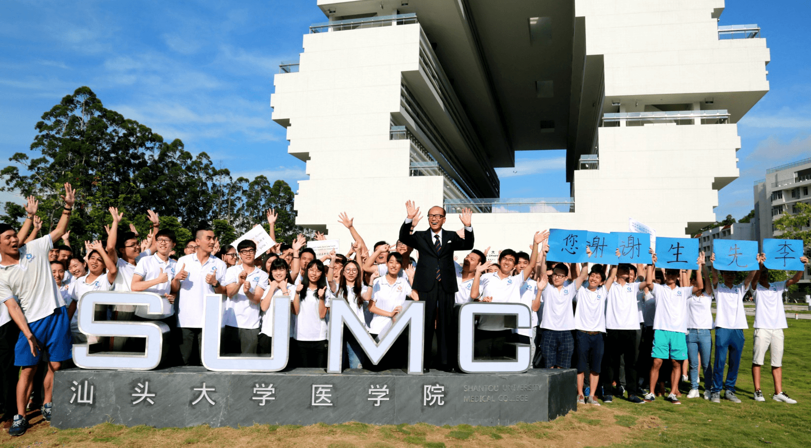
Why International Students Choose MBBS at Shantou University Medical College in China
March 28, 2026
- Tuition
- 4,237 USD per year
-
Application Fee
- 118 USD
-
Service Fee
- 200 USD
Why Apply on Global Admissions?
- Boost Your Acceptance Rate
- Easy Online Application
- Thousands of international students use Global Admissions with 4.9 star reviews
- Free Service to Partner Universities or upgrade to our Premium Admissions Service