Master in Surveying and Mapping (Photogrammetry and Remote Sensing)
Introduction
About the Program
Tuition in Context
This program's tuition is about the same as the typical master's in China.
Median tuition for that cohort is 4,237 USD, across 6,656 programs in our catalog.
Compare China master's programsEnglish Test Requirement
This program asks for IELTS 5.5-6.0. Here's what that's worth on the other tests universities accept, based on the official concordance tables:
- TOEFL iBT
- 46–59
- PTE Academic
- 42–49
- Duolingo
- 85–95
- CEFR level
- B1/B2
Equivalences are approximate — confirm the exact test and score the program accepts.
Similar Programs You Can Apply To
Direct application via Global Admissions is not available for this program. Browse similar partner programs below or visit the university's site to apply directly.
East China University of Science and Technology (ECUST)
Master in Chemical Engineering & Technology
Tuition
4,802 USD / year

Zhejiang University of Science and Technology (ZUST)
Master in Chemical Engineering and Technique
Tuition
3,531 USD / year
Huazhong University of Science and Technology (HUST)
Master in Biomedical Engineering
Tuition
5,367 USD / year
Xi’an Jiaotong-Liverpool University (XJTLU)
Master in Advanced Chemical Sciences
Tuition
12,712 USD / year
Zhejiang University of Science and Technology (ZUST)
Master in Advanced Manufacturing and Informatization
Tuition
3,531 USD / year
Xi’an Jiaotong-Liverpool University (XJTLU)
Master in Civil Engineering
Tuition
6,356 USD / year
Related Blog Posts

10 Best English-Taught Universities in China for International Students
May 28, 2026

China Is Racing Ahead in AI and Robotics – And Drew a Line Around AI Replacing Workers
May 9, 2026

The Ultimate Guide to Study MBBS in China
April 14, 2026
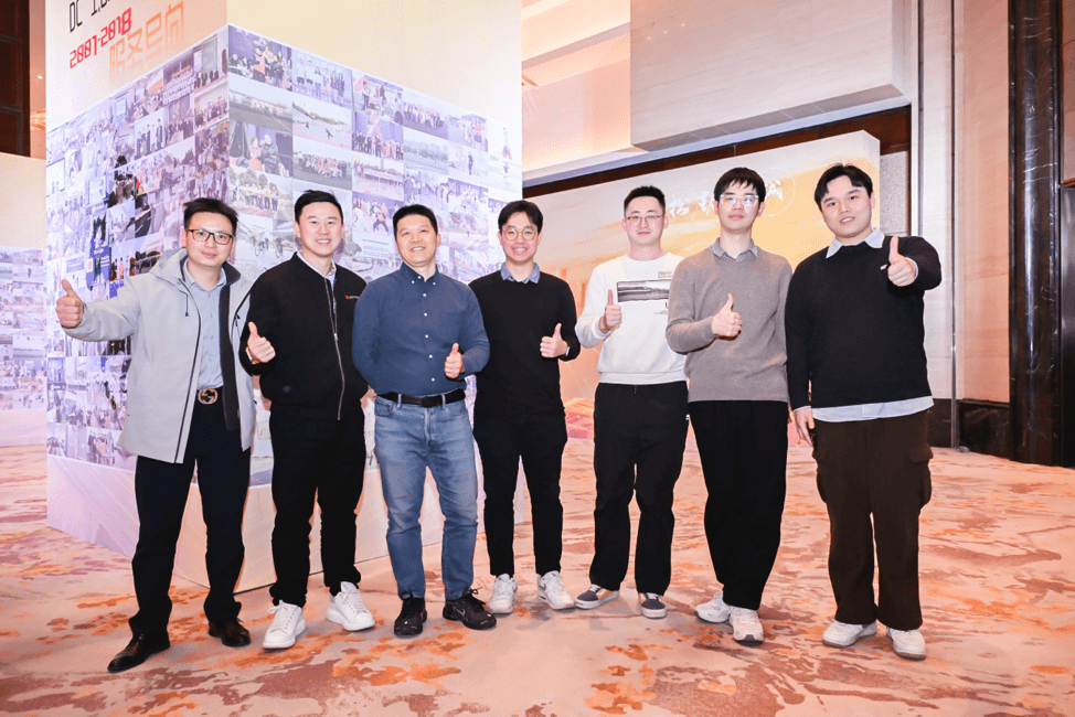
XJTLU equips students to thrive in today’s job market
April 14, 2026
-
Deadline
- May 31, 2027
- Tuition
- 3,955 USD per year
-
Application Fee
- 75 USD
-
Service Fee
- 198 USD
Applying early can increase your chances of getting accepted
Takes about 15 minutes
Why Apply on Global Admissions?
- Boost Your Acceptance Rate
- Easy Online Application
- Thousands of international students use Global Admissions with 4.9 star reviews
- Free Service to Partner Universities or upgrade to our VIP Admissions Service
Takes about 15 minutes