Master in Geoinformatics
Introduction
About the Program
Similar Programs You Can Apply To
Direct application via Global Admissions is not available for this program. Browse similar partner programs below or visit the university's site to apply directly.

Istituto D'Arte Applicata E Design (IAAD)
Master in Transportation Design
Tuition
25,368 USD / year
Istituto D'Arte Applicata E Design (IAAD)
Master in Marketing & Communication Management

Accademia Italiana
Master in Interior Design
Tuition
16,455 USD / year
LIUC, The Business University
Master in Management Engineering (Specialisation in Sustainability and Circular Economy)
Tuition
9,961 USD / year
Xi’an Jiaotong-Liverpool University (XJTLU)
Master in Urban Design
Tuition
6,356 USD / year
Xi’an Jiaotong-Liverpool University (XJTLU)
Master in Pattern Recognition and Intelligent Systems
Tuition
14,125 USD / year
Related Blog Posts
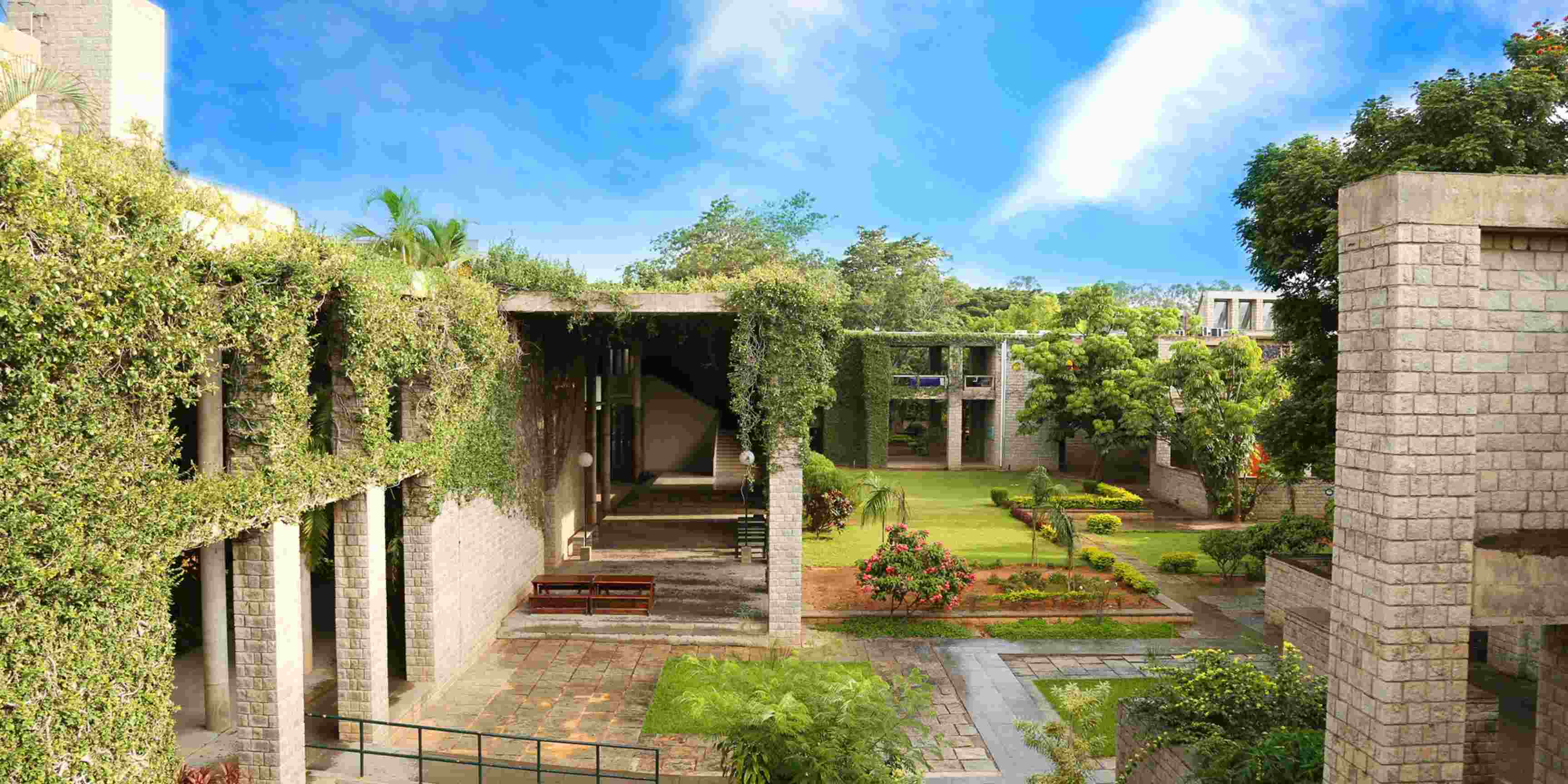
10 Most Beautiful Universities in India
December 5, 2025

50 Incredible Facts About India That Will Amaze You
June 16, 2025

10 Best Websites to Search for Studying Abroad in 2027
July 18, 2026

Scholarships in South Korea – The 2027 Guide for International Students
July 7, 2026
-
Application Fee
- 0 USD
-
Service Fee
- 0 USD
Applying early can increase your chances of getting accepted
Start Your ApplicationWhy Apply on Global Admissions?
- Boost Your Acceptance Rate
- Easy Online Application
- Thousands of international students use Global Admissions with 4.9 star reviews
- Free Service to Partner Universities or upgrade to our VIP Admissions Service